 By admin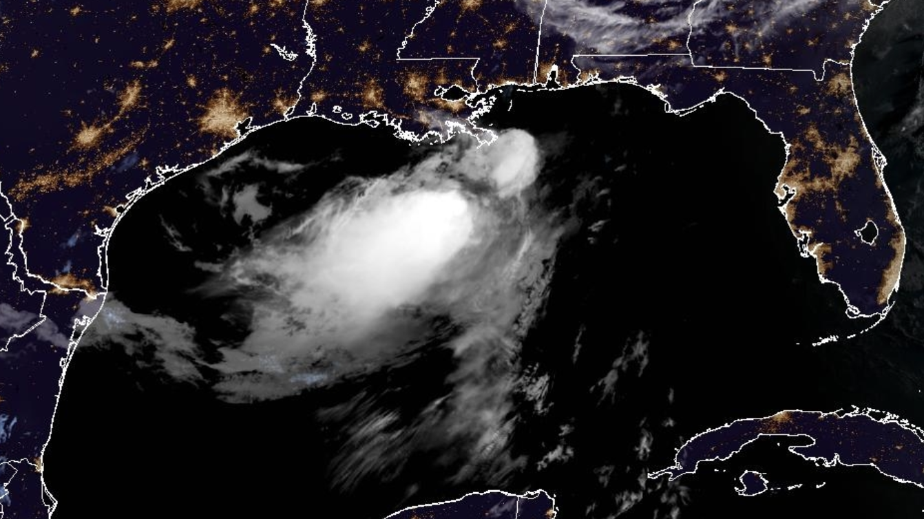
Tropical Storm Bertha was packing 50 mph winds Wednesday morning as its center neared the Louisiana coast. The storm has weakened slightly, but is still expected to drop heavy rains and gusty winds along the Louisiana coast on Wednesday. A tropical storm warning is in place for a stretch of the Gulf Coast from the Okaloosa/Walton County Line in Florida to Morgan City, Louisiana. New Orleans was included in the tropical storm warning.
Read more Out of Africa Wildlife Park closed due to flooding in northern Arizona
Bertha is moving to the west at 5 mph.
Bertha is expected to remain a minimal tropical storm for the next two days as it skirts the Gulf Coast. Its intensity will largely depend on whether its center remains over water or land over the next few days as it moves along the Gulf Coast.
RELATED STORY | El Nino powers up as forecasters predict historic strength and a rainier winter for the US South
The storm is not expected to move fast, meaning it could potentially drop heavy rain along the Louisiana coast for several days.
Read more Tempe Mill Avenue arrest video raises questions after county attorney declines charges against woman
“Tropical storm conditions are expected to continue along portions of the northern Gulf Coast from the western Florida Panhandle to southeastern Louisiana, including the Metro New Orleans area, through tonight,” the National Hurricane Center said. “Tropical storm conditions are possible for portions of the southwestern coast of Louisiana tonight into Thursday.”
Bertha is the second named storm of the Atlantic hurricane season. The 2026 season is not expected to be as intense as prior seasons due to an ongoing El Nino pattern. Forecasters warn, however, that it only takes one storm to make or break an entire season.
Read more MOST ACCURATE FORECAST: Lingering storm chances, then heating up
RELATED STORY | El Nino headed for historic levels, forecasters say