COLORADO RIVER, AZ — ABC15 is taking a closer look at the Colorado River as part of our continuing Running Dry coverage.
Read more Federal judge blocks Trump policy of making arrests at immigration courts nationwide
As Western states like Arizona wait for a new water-sharing agreement from the Department of the Interior, ABC15’s Nick Ciletti went on a boating trip along the Colorado River recently in Northern Arizona, departing from Lee’s Ferry up to the Glen Canyon Dam area.
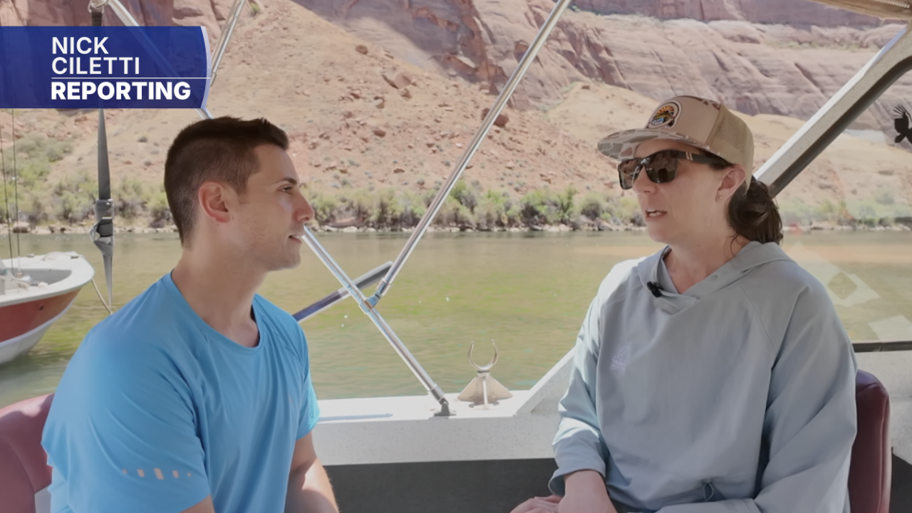
Nick was the only TV reporter to travel alongside the nonprofit group Trout Unlimited, which spearheads a number of conservation and restoration projects across Arizona and in other states.
State of the river
It is a waterway as stunning as it is delicate – a lifeline for some 40 million people in communities across the Valley, across Arizona, and across much of the West – from tribal communities to sprawling megacities like Phoenix.
We recently got to see the current state of the Colorado River up close in Northern Arizona – and it wasn’t hard to spot certain areas where the water levels appeared to be dangerously low.
See more of our Impact Earth coverage, including stories highlighting the Colorado River, here.
“It’s hard,” explains Dr. Sara Porterfield when asked about what it’s like emotionally to see levels this low.
Dr. Porterfield is a leading expert on the history of the Colorado River and works as Trout Unlimited’s Colorado River Program Director & Western Water Policy Advisor.
“It’s the climate we are in,” explains Dr. Porterfield. “These big empty buckets that we’ve got: Lake Mead and Lake Powell, and there’s not a lot of water in those.”
Read more Man charged in wife’s deadly Angels Landing fall had affair with underage girl, police allege
On the boat, we began the day at Lee’s Ferry, then traveled upstream to the south side of the Glen Canyon Dam. On the other side of the Dam is Lake Powell.
As of a last check on June 24, according to the U.S. Geological Survey, water levels are about 35 feet lower right now than they were this time last year. Also, Lake Powell is only at about 23% capacity – and one very noticeable place is at the Glen Canyon Dam, with officials having to decrease the frequency of water releases since levels in the reservoir have remained low.
Lake Powell is inching dangerously close to what’s called “the minimum power pool level,” with concerns that the water levels could dip below the critical 3,490-feet mark, saying back in April: “If Glen Canyon Dam declines below 3,490 feet, water releases would be only through the river outlet works, which could cause operational issues, uncertainty for users, downstream impacts, instability in regional power and water supplies, and a reduction in power generation.”
To help improve levels, the Bureau of Reclamation announced in the spring that a plan was underway to move water from the Flaming Gorge Reservoir near the Utah-Wyoming border. Officials say as much as a million acre-feet could be transferred by April 2027. To read more about the plan, click here.
“We had a really dry Winter in the west this year,” explains Dr. Porterfield. “We didn’t get a runoff season or a ton of runoff from snowpack, and that’s on top of this 20-year drought and climate change.”
And it’s not just that area in and around the Glen Canyon Dam. According to the Bureau of Reclamation, our drought has reduced storage throughout the Colorado River to just 36%.
However, Porterfield says there is still hope, especially if all of us take action and do our part.
“It’s things like watershed health projects like we work on across the basin,” she says. “It’s flexible, voluntary compensated water conservation programs, it’s water recycling and reuse programs where that makes sense. There is a whole host of solutions that together need to be funded, and need to be scaled up, and they are there. We can do this.”
Read more COVID-19 vaccine study that was blocked from CDC journal is published elsewhere
To learn more about Trout Unlimited and the work they are doing, click here.